The village "Waterfall" - a land mass near Katun on the route to the Beltertyuk waterfall under glampings, estates and a taiga tourist project.
Republic of Altai · Chemal district
Land plot summary
Land at Katun on the route to the Beltertyuk waterfall under glamping, estates and taiga tourism.
Chemal District
Chemal District, Altai Republic
16.9078 ha
1,690.78 acres
35,000 RUB per sotka
50.973238381,86.276438131
83, 84!
53 rooms, full list below
Key features of the site
- Scale: 16.9078 hectares.
- Strong qualities of the place: proximity to water, forest environment, species potential, privacy, communication with recognizable tourist points.
- Purchase potential: glamping or chamber natural settlement; hotel facility, recreation center or service point for tourists; staged development and long-term lease of individual zones; investment with the expectation of growth of tourist demand and land value; development cluster or land for the project.
- Point of attraction: Kuyus; Beltertyuk.
Detailed description of the site
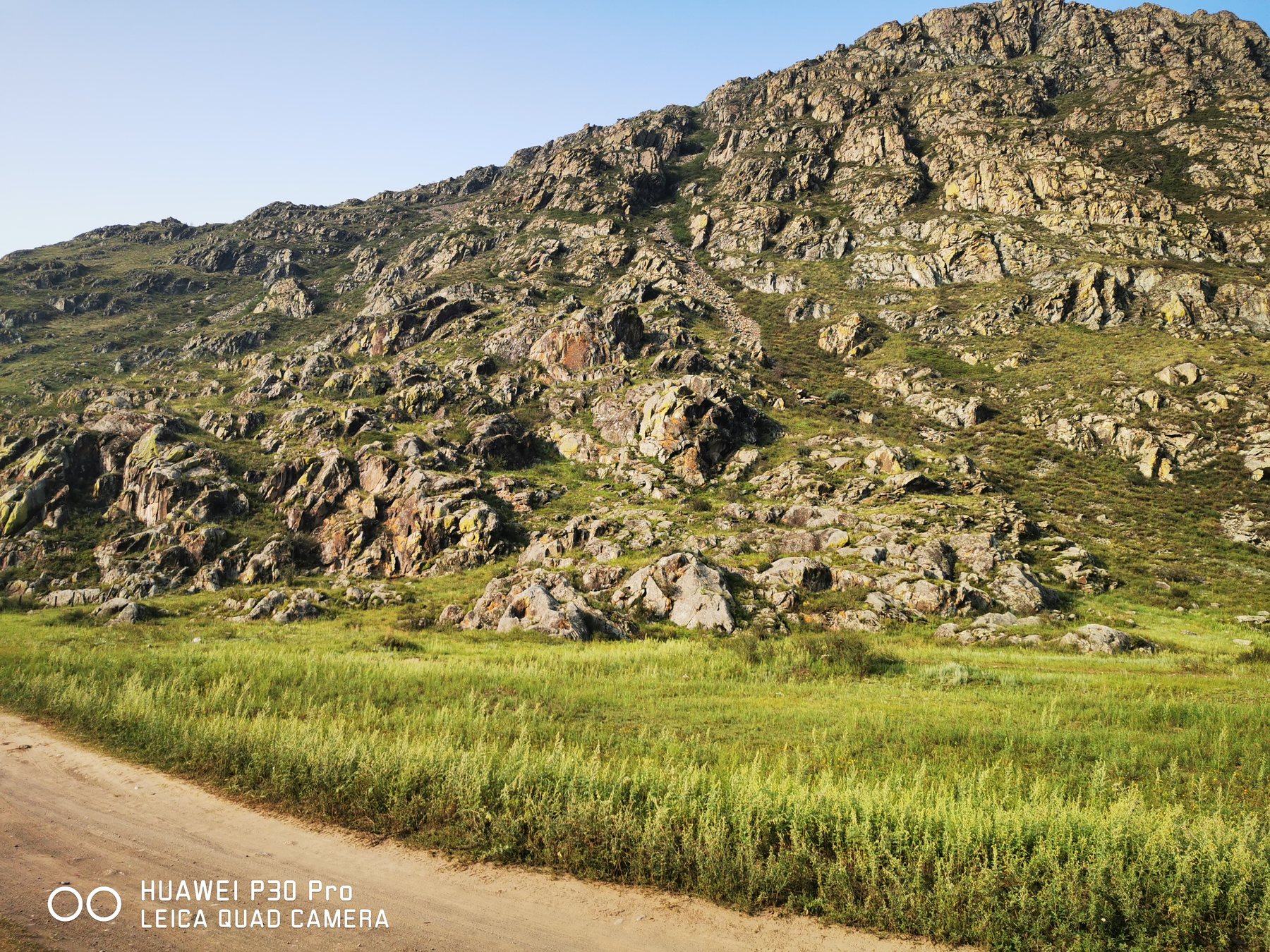
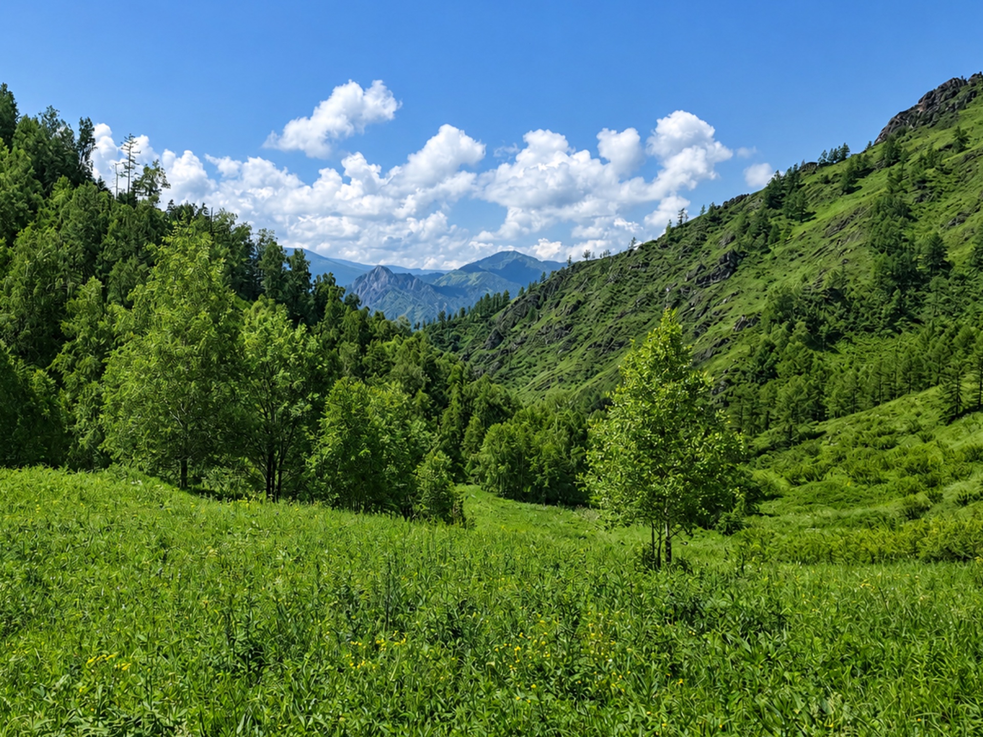
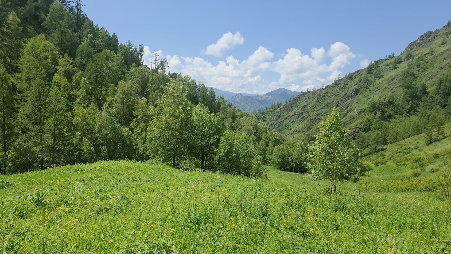
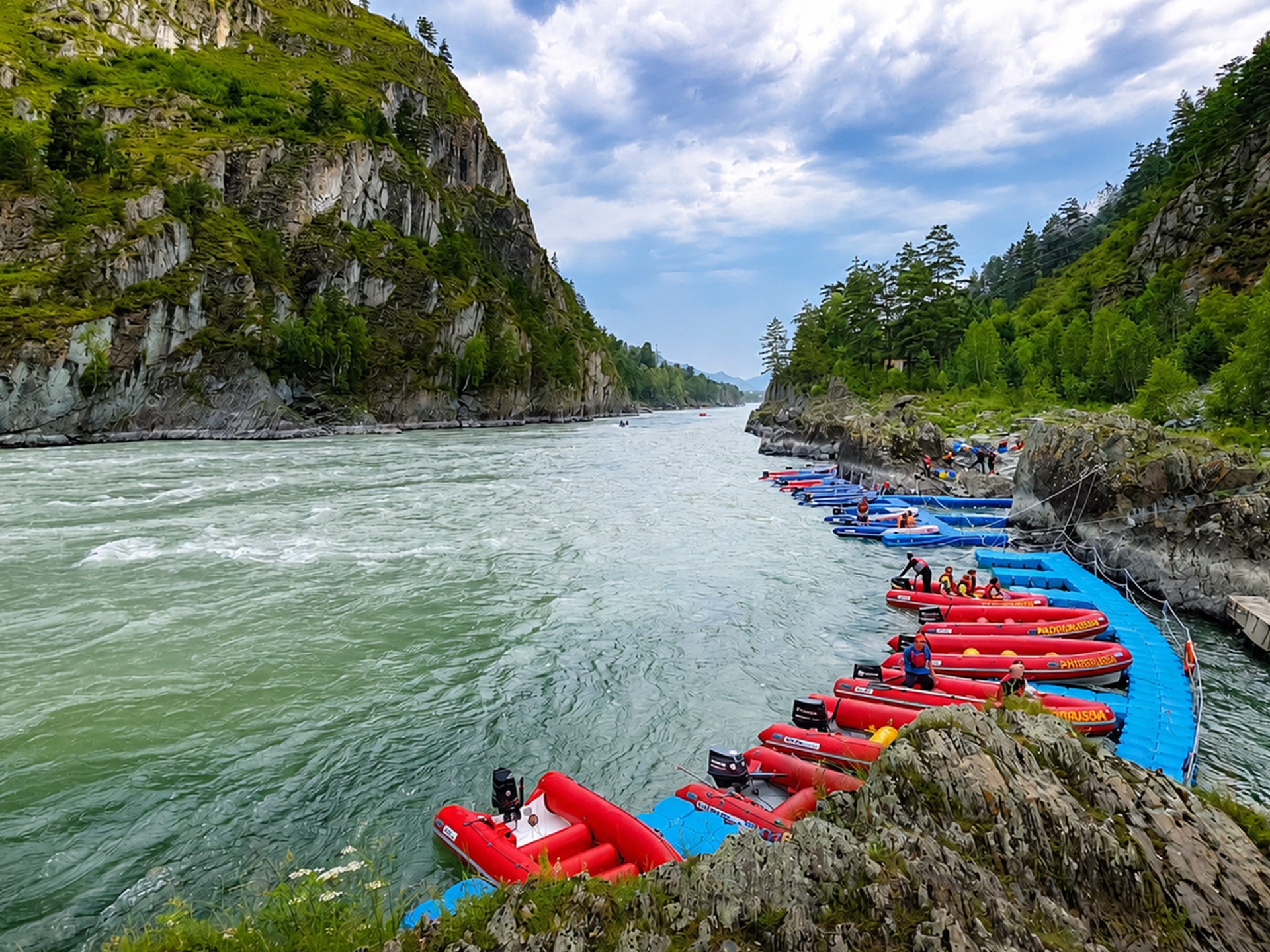
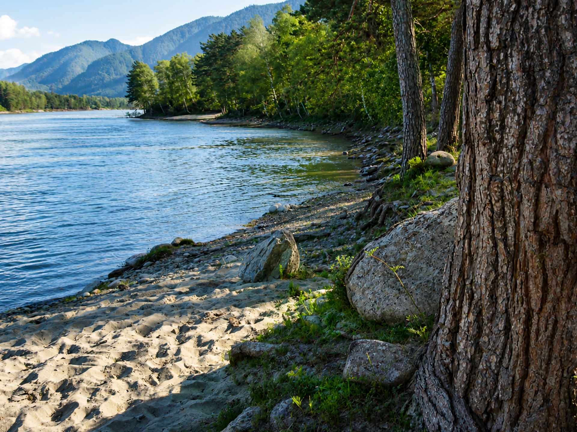
The village "Waterfall" - a natural location behind the village of Kuyus in the Chemal district of the Altai Republic, on the way to the famous tourist object - the waterfall BeltertuyukThis place is located in a valley between the Katun River and the rocky massifs, in an area where the usual tourist development is almost over, and then begins a more wild mountain taiga area.
The main meaning of this location is not a mass resort or a dense recreation center, but small houses, glampings, private estates, apiaries, horse routes, fishing tours and living near the real mountain taiga, where the value is created not by urban comfort, but by the proximity to Katun, rocks, waterfalls, clean mountain rivers, routes and the feeling of the edge of the developed territory.
The village "Waterfall" - a natural location behind the village of Kuyus in the Chemal district of the Altai Republic, on the way to the waterfall Beltertuyuk.
Nature of the place
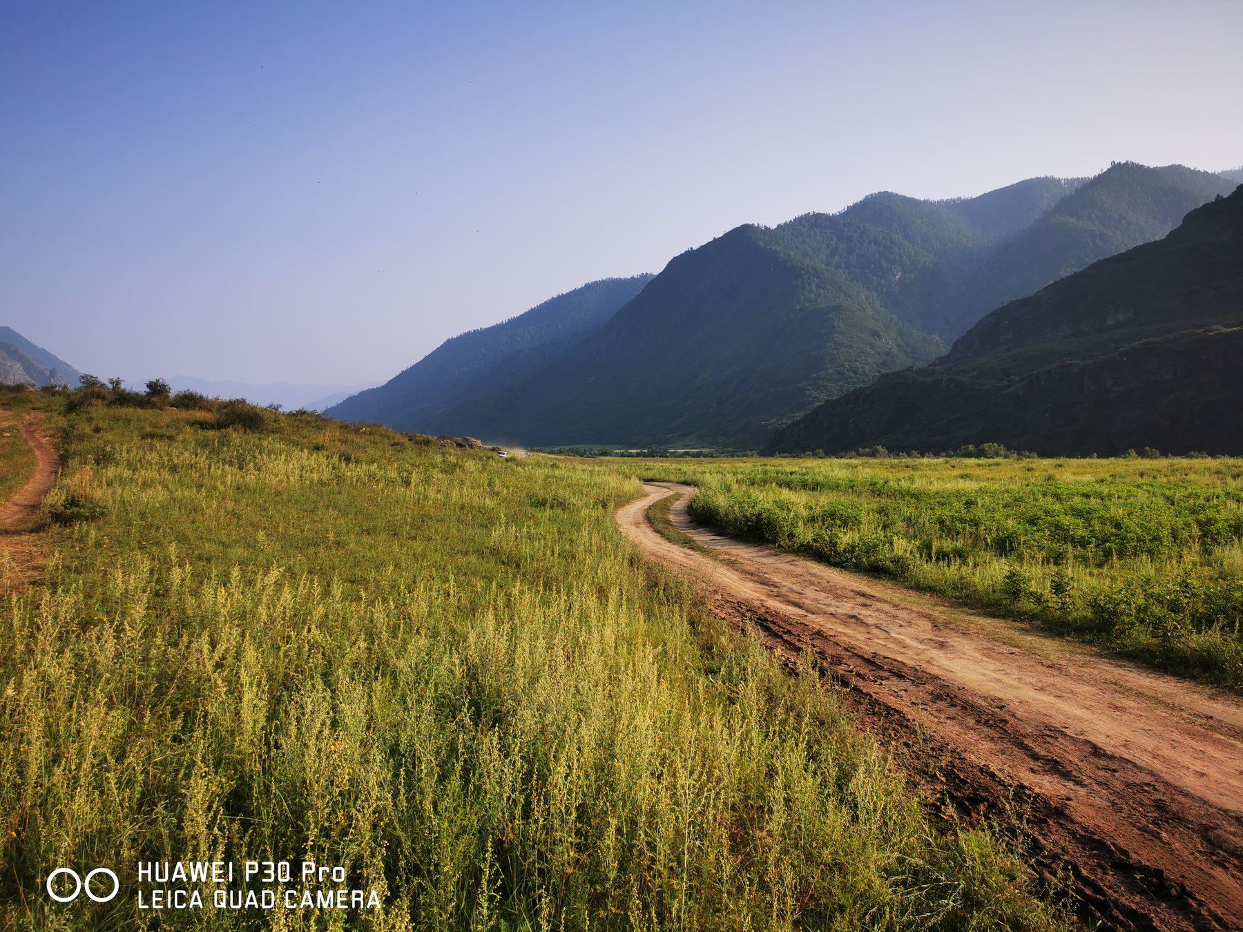
The road from the village of Kuyus goes along the valley along Katun and the rocks towards the waterfall. Beltertuyuk. It's not an asphalt tourist avenue, but a field road with rocks and lots of low-car roads, where it's hard to drive. In some places, the rocks come close to Katun, and the road becomes narrow. For mass transport, it's a limitation, but for natural tourism, it's part of the nature of the place.
The village of Waterfall is located in the wider valley, and this is important: it's the extensions that allow you to have houses, manors, farms, apiaries, guest facilities and small tourist formats. The narrow sections along Katun are beautiful but difficult to explore, and the wide part of the valley gives you more planning.
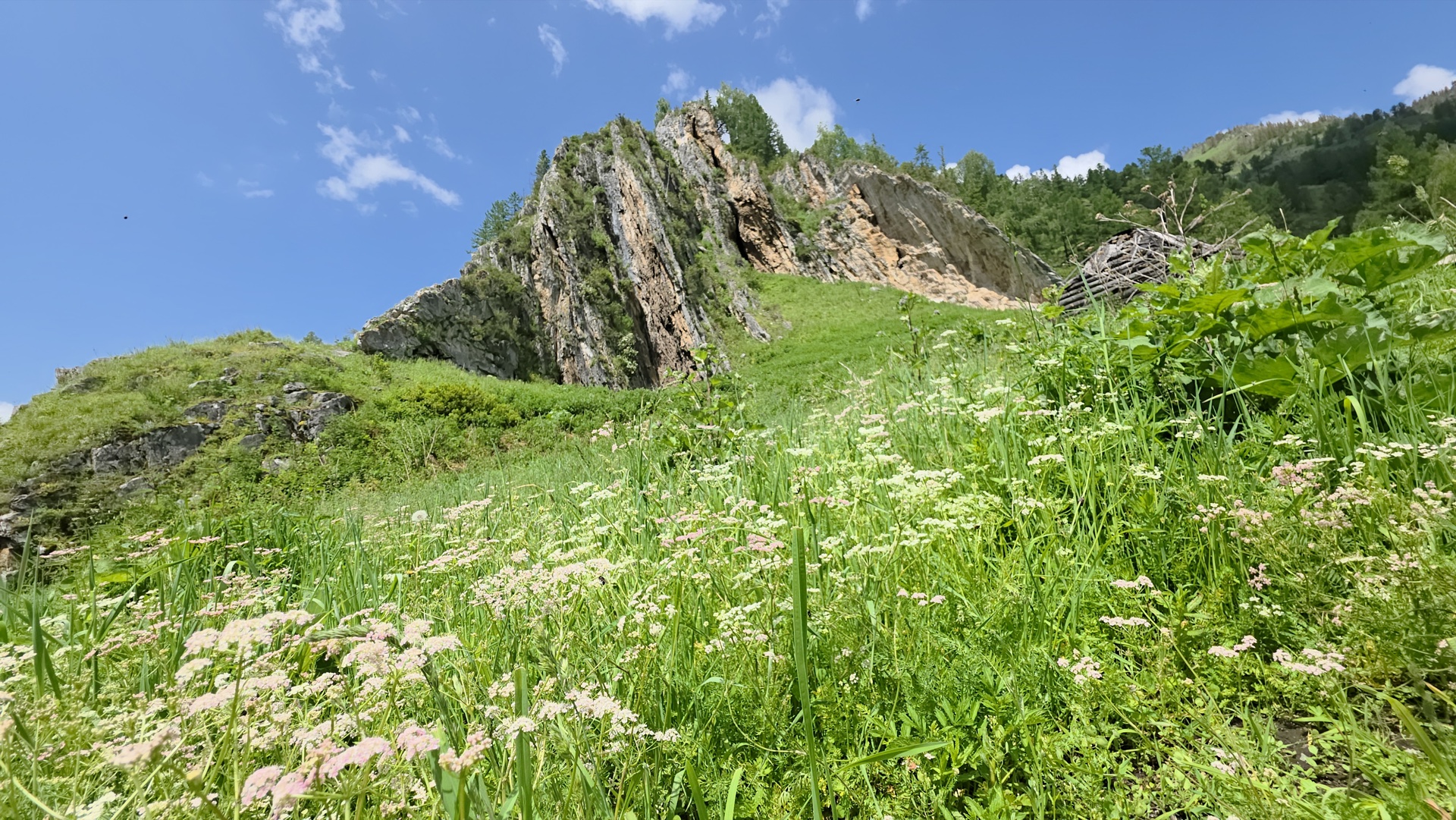
There are steep cliffs nearby, and you describe one of the rocks as showing ancient man's rock paintings, and for a public card, it's best to state this carefully: "There are rock formations in the vicinity with historical and cultural interest; the presence and status of rock artworks should be separately checked," so the object retains a strong legend, but without legal risk.
Katun, Samulta and the wild taiga
Upstream of the Katun, there are almost no normal roads that go to the river, and there are no dense settlements, creating a rare effect for the Chemal district: a person is next to a famous river, but feels not an overloaded tourist showcase, but a freer and wilder Altai.
Of particular interest are the two mountain rivers, Upper Samulta and Lower Samulta, which flow into Katun. As you climb up along them, the deep mountain taiga begins: clear water, forest, bird, beast, natural routes and harius fish, which is usually associated with cold and clean mountain rivers. For a tourist product, it is a strong base: hiking trails, horse exits, fishing, photo tours, taiga walks, herb collection, apiaries and a relaxing holiday without urban conges.
An important feature of this zone is its dry mountain taiga character, which is more comfortable in summer than in the wetlands of Siberia, and almost no gnats, and it's better to write this on the card as an advantage of the local climate: "dry mountain taiga environment, more comfortable for summer stay than wetlands." That sounds professional and doesn't look like an overly promising one.
Why the place is suitable for glamping and estates
Waterfall is particularly interesting for small, warm glamping houses and private estates, so you don't have to build a big hotel or a noisy base, but you'll have a different format: several houses, bathhouses, terraces, campfires, apiary, horse routes, fishing exits, excursions to the falls, walks along Katun and routes to Samulta.
This product is sold well not as a “room for the night”, but as a stay on the border of the developed Altai and the wild taiga. For a guest, this is an understandable story: to come to a small house near Katun, live near the rocks, go to the waterfall, climb the taiga routes, try local honey, go fishing, go on horses or quad bikes, return to the bath and silence in the evening.
The place is also strong for a private estate, and it's suitable for those who want not a village with neighbors through the fence, but a more free natural territory: Katun, rocks, dry taiga, pastures, apiary, livestock, small farming and the ability to receive guests.
Tourist logic
The flow to Beltertyuk Waterfall creates a natural touristic bundle, and people are already going this way for the falls, Katun, rocks and wild landscape, so that you can develop not an artificial object in the clean field, but a service on the existing route: stop, glamping, guest house, bath, food, excursions, horseback riding, fishing tours, apiary and a small service for travelers.
And it doesn't have to be a noisy roadside base, it's powered by the quietness and the naturalness, and it's better to have a chamber format where each building is neat, doesn't argue with the rocks, doesn't destroy the sense of the wilderness, and in those places, fewer objects can give you higher value if you assemble the product properly.
Engineering and limitations
With water, the situation can be solved through a well, but this needs to be checked at a specific site: depth, flow rate, water quality, drilling capacity, sanitary zones, appliances. In the selling card, it is better to write not “no problems with water”, but “water supply requires a specific point check; in mountainous areas, a well or an autonomous system is often considered.”
And you also have to consider the road. It's important for the travel business to be honest, that a low-car driveway can be difficult, you can rely on high clearance or prepared transport, and it doesn't reduce the value of the property, it cuts off the wrong buyer, and it's not for a standard urban country scenario, but for a natural project.
Investment logic
The interesting thing about the village of Waterfall is that it is on the transition from a tourist route to an almost wilderness, a rare position: the object can use the flow to the waterfall and simultaneously sell privacy, taiga, rocks, Katun and no tight competition.
For a private buyer, it's land for a manor or a loan in a strong natural environment; for a tourism operator, a point for glamping, horse and fishing tours, natural routes and accommodation at Katun; for a beekeeper or a farmer, a place where you can combine farming, tourism and direct sales of the product to guests.
Key parameters of the site
- Distance to Gorno-Altaisk Airport (RGK): 152 km
- Distance to the bus station Gorno-Altaisk: 159 km
- Distance to railway station Biysk: 248 km
- Distance to Kuyus village: 7.5 km
- Law: Private property
- Price: 35,000 rubles per hundred
The road runs through the valley between the Katun River and the rocky massifs and ends at the waterfall, suitable for small glamping houses, private estates, apiaries, horse trails, fishing tours and recreation near the wild mountain taiga.
The main value of the site is the combination of Katun, rocks, dry mountain taiga environment, a tourist route to the waterfall and access to the wilderness upstream, and nearby are the directions to the Upper and Lower Samult, clean mountain rivers, taiga routes, fishing and natural recreation.
The location is not designed for urban comfort and dense development. It is more powerful autonomous houses, bathhouses, apiary, nature routes, horseback riding, fishing and the format of an enclosed estate. Electricity needs to be solved autonomously: solar panels, batteries, generator or hybrid scheme. Water supply, entrance and construction parameters require site-specific checks.
This is one of the interesting places for those who are looking not for an ordinary plot, but for land on the border of the tourist route and the real mountain taiga.
What might be interesting to the buyer
It is not only the land itself that is important, but also the combination of location, use case and future capitalization.
- Format: glamping or chamber natural village.
- Tourism: a hotel facility, recreation center or service point for tourists.
- Development: phased development and long-term lease of individual zones.
- Economics: investment with the expectation of growth in tourist demand and land value.
- Scale: development cluster or land for the project.
- Economics: a clear price in the card helps quickly estimate the project economics: 35,000 RUB per sotka.
Parameters and documents
Agricultural land
For personal subsidiary farming
Private property
Cadastral numbers (53)
04:05:090103:976, 04:05:090103:977, 04:05:090103:978, 04:05:090103:979, 04:05:090103:980, 04:05:090103:981, 04:05:090103:982, 04:05:090103:983, 04:05:090103:984, 04:05:090103:985, 04:05:090103:986, 04:05:090103:987, 04:05:090103:988, 04:05:090103:989, 04:05:090103:990, 04:05:090103:991, 04:05:090103:992, 04:05:090103:993, 04:05:090103:994, 04:05:090103:995, 04:05:090103:996, 04:05:090103:997, 04:05:090103:998, 04:05:090103:999, 04:05:090103:1000, 04:05:090103:1001, 04:05:090103:1002, 04:05:090103:1003, 04:05:090103:1004, 04:05:090103:1005, 04:05:090103:1006, 04:05:090103:1007, 04:05:090103:1008, 04:05:090103:1009, 04:05:090103:1010, 04:05:090103:1011, 04:05:090103:1012, 04:05:090103:1013, 04:05:090103:1014, 04:05:090103:1015, 04:05:090103:1016, 04:05:090103:1017, 04:05:090103:1018, 04:05:090103:1019, 04:05:090103:1020, 04:05:090103:1021, 04:05:090103:1022, 04:05:090103:1023, 04:05:090103:1024, 04:05:090103:1025, 04:05:090103:1026, 04:05:090103:975, 04:05:090103:886
What to check before purchase
- Access, condition of the road and seasonality of access.
- Electricity, water, communications and connection points.
- the boundaries of the site, the actual relief and the neighboring surroundings.
- restrictions on land category, IRI, protected areas and fire requirements.
- the composition of the array for each cadastral number.